Agriculture
Crop Insights with Intelligent Drone Data
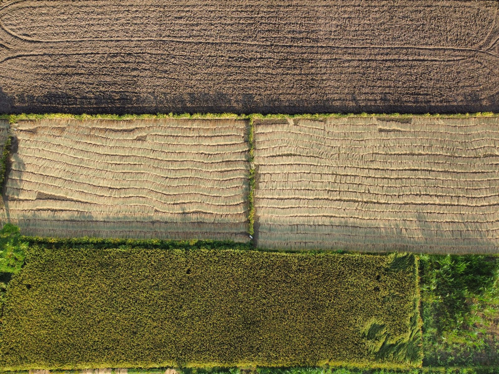
Crop Insights with Intelligent Drone Data
Robotics and Drone Tech is an experienced drone survey company in the agriculture industry. Using multispectral drone technology we pinpoint where your crops are underperforming.
Our mission is to help farmers reduce their costs and increase yields. We provide growers with an easy, cost-effective and efficient manner in which to collect and analyse multispectral drone data, giving you the information you need to make better decisions.
Multispectral and RGB images are converted into accurate index maps like NDVI and orthomosaics of your fields — giving you critical, near real-time data to improve your decision making. RDT provides a complete solution that empowers growers to effectively manage their crops.
We use cloud-processing technologies to process and deliver actionable insights in the shortest possible time.
Compile tree counts, height, canopy size, canopy volume and health for every individual tree in your orchard.
Detect variations and problem areas with NDVI, VARI and other plant health algorithms. Generate field contours and digital elevation models for irrigation and crop management.
Reduce crop loss and boost yield with rapid intervention based on accurate, timely aerial data.
Easily share maps with your team or take them into the field on any device for targeted scouting and intervention.
Track crop and individual plant health throughout the season with data gathered across multiple surveys.
NDVI and multispectral index maps highlight exactly which zones need attention — from nitrogen deficiency to pest damage.
Machine learning models trained on multispectral imagery identify weed pressure and individual plant health issues at row level for targeted intervention.