Crop Spraying
Efficient and Intelligent Crop Spraying Solutions
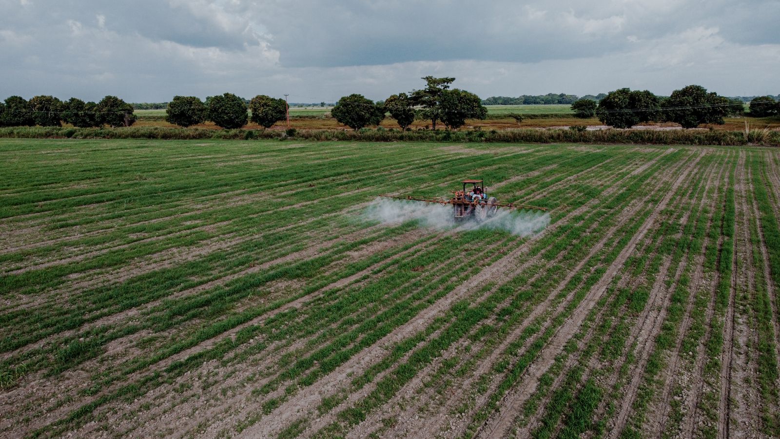
Efficient and Intelligent Crop Spraying Solutions
Drone crop spraying replaces manual and tractor-based application with an aircraft that maps the field, plans its own flight path, and applies inputs only where they're needed. GPS autonomy and radar-assisted terrain-follow keep the aircraft at a precise height above the crop, even on uneven ground.
By incorporating crop spraying with intelligent mapping, spraying can be targeted to the areas that need it — reducing chemical usage and operational costs while ensuring full, even coverage across the field. Aerial seeding uses the same platform to broadcast seed directly, far faster than manual methods.
Our BushID system takes this a step further by identifying weeds and invasive alien plants directly from the aerial imagery, then generating precision spray zones so treatment is applied only where it's actually needed.
Advanced imaging radar and slope angle detection allows superior navigation in adverse terrain. RTK centimetre-level positioning ensures targeted, precise application.
8 nozzles with high-volume pumps spray at up to 6 L/min. A highly optimised wind field produces droplets ideal in size and consistency for maximum penetration.
Pilots have undergone advanced training in aerial application to ensure safe handling of aircraft and high-quality application to all crops.
Our auto-tendering station ensures ground crew mix the right amounts of inputs precisely when needed, providing flexibility and avoiding waste.
Dry spreader payload up to 16L with dispense rate up to 15 kg/min. For direct seeding 0.5–5mm in size, 70× faster than manual operations.
Zero ground equipment means no tractor-induced soil compaction — better long-term soil health and reduced field damage.
BushID automatically classifies vegetation from aerial imagery, identifying weeds and invasive alien plants and mapping their precise GPS treatment zones. Precision spraying is then targeted only at those zones — instead of blanket application across the whole field.
Centimetre-level positioning and high-precision data collection over the target fields.
BushID identifies weeds and invasive alien plants from the mapping data and flags their exact GPS locations, which feed directly into an AI-generated, autonomous precision flight path.
Improved operational efficiency — spray rate up to 6 L/min, covering approximately 8 ha/hour.