Industrial
Reducing Risk, Saving Time and Bringing You Powerful Data
Reducing Risk, Saving Time and Bringing You Powerful Data
RDT leverages the latest in aerial thermal technology, zoom cameras and high-resolution videography to deliver trusted, actionable data for your operation in a safe manner. Whether identifying hot spots on solar panels or power lines, conducting structural inspections on bridges, or tracking illegal activity — RDT provides you with the tools and expertise to get the job done right.
Using aerial thermography, entire solar fields can be inspected for hot spots and problem areas. Detailed geo-referenced visual and thermal maps are generated for immediate action.
Mitigate safety risks and save costs by conducting remote aerial surveillance of power lines using smart drone technology with advanced thermal capability. Identify high-impedance and hot-spot zones in real time.
With a close relationship with SAPS, RDT deploys rapid response teams to provide tactical support where suspected illegal activity is being conducted. Our pilots are equipped for the dynamic nature of these operations.
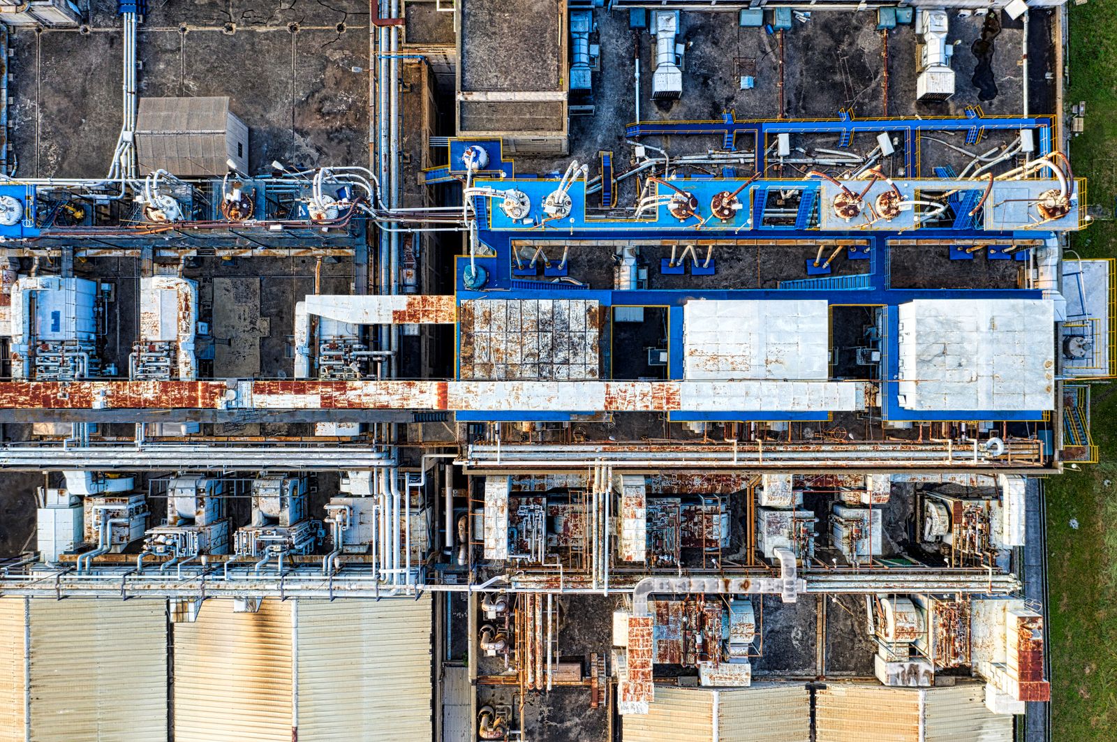
4K video recording and high-resolution ortho-rectified maps for desktop inspection and advanced analysis of any infrastructure asset.
Safe and efficient inspection of wind turbine blades and nacelles without the need for rope access teams or scaffolding.
Railroad, line inspection, bridge inspections and oil and gas pipeline inspections — all conducted safely without disrupting operations.
Using ferro-magnetic resistant drones coupled with redundant GPS and robust command and control transmission systems, RDT is able to operate within 30m of high KV power lines to get the data you need safely.
Power line anomalies are logged and recorded in real time, providing a comprehensive inspection record for asset management teams.