Construction
Monitor and Measure Construction Progress using Smart Drone Data.
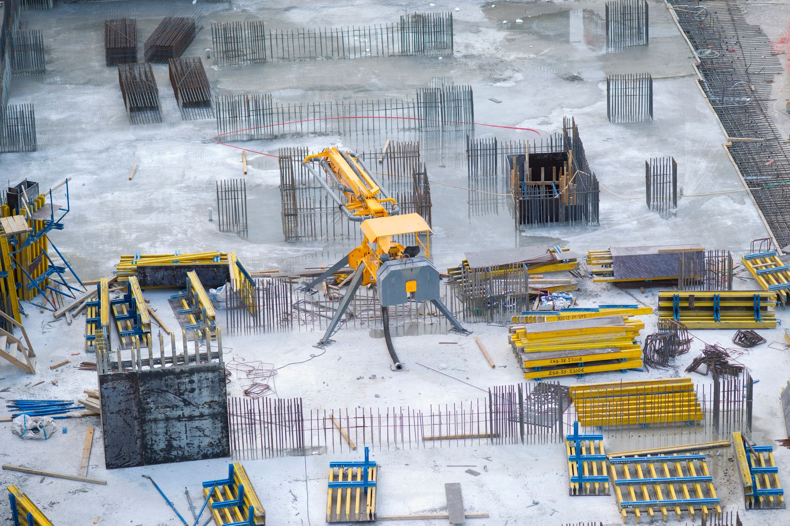
Monitor and Measure Construction Progress using Smart Drone Data.
Drone surveying in construction is revolutionising the way projects are managed. Obtain accurate, up-to-date maps of your site with on-demand drone surveys to effectively monitor the build process from start to finish. Our flight teams are ready to conduct precise flyovers of your construction site as frequently as you require.
Accurate drone imagery coupled with precise RTK GPS gives you reliable data you can trust.
With high resolution (<2cm/pixel) orthophotos you can quickly identify and correct plan defects and deviations. Instantly share these web-based maps with the project team or export your project data in a variety of formats compatible with your design software.
Make accurate measurements of stockpile volumes, distances and heights from your desktop without going onsite.
Upload project design files and overlay them over the current build to monitor progress and identify deviations from plan.
Access maps from any web browser, create measurements, produce reports and share securely with stakeholders.
Project development evaluated with an intuitive visual timeline from multiple surveys.
Mitigate site risks without walking in dangerous areas. Data is collected without requiring direct human presence on site.
Files downloadable in DXF, SHP, OBJ, TIFF, LAZ and more, compatible with your design or engineering platform.
Project design files can be uploaded onto the platform and overlaid over the current build to monitor and ensure the project is on the right track. Any deviations from the plan can be identified quickly and rectified.
For example, the design surface can be overlaid over the drone-generated model to check if volume and elevation matches the design plans.
Stay on-point and on schedule with continuous progress tracking of your project. We give stakeholders and managers access to the most up-to-date information. The web-based platform allows easy-to-measure tools, annotations on maps and a project timeline view.
We can produce intuitive reports in PDF or CSV format for you to share with contractors or stakeholders.