Mining
Powerful, Accurate Aerial Data For Mining
Powerful, Accurate Aerial Data For Mining
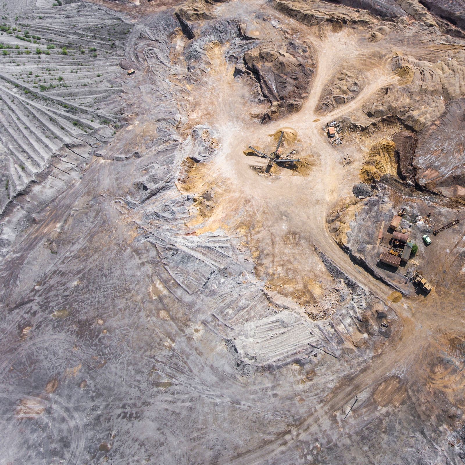
Drone surveys are providing powerful aerial data bringing cost and time-saving innovations to a variety of mining processes. We produce high-resolution (<3cm) orthomosaic maps and 3D terrain models which can be used to instantly calculate stockpile volumes, keep track of equipment and monitor environmental compliance.
We fly, upload the data, process and deliver online within 48 hours. Along with the implementation of Ground Control and Quality Assurance processing, we deliver survey-grade accuracy down to 1cm GSD.
In addition to exporting full analytical reports in PDF and CSV file formats, RDT can share the web-based map with any team members, making sure that everyone has access to the data they need.
The orthomosaic can also be downloaded in a variety of file formats to use in other analytical or design programmes. Identify breaklines and fissures, monitor extractions, plan blasting and extracting activities from your desktop.
Maps and measurements viewable in 3D with resolution up to 1cm/pixel. Contours at 10cm intervals for precision planning.
Accurate stockpile volumetric calculations including comparisons with volume data from earlier surveys to track extraction progress.
Import DXF, GeoTIFF, DWG, KML, KMZ, CZML or GeoJSON. Export as JPEG, TIFF, DXF or LAZ files.
Relevant personnel can easily be added to view datasets through a secure login — no software installation required.
Requires no software installation and is easy to use for both technical and non-technical staff.
Overlay design files over the current survey to ensure work progresses to plan and deviations are identified early.